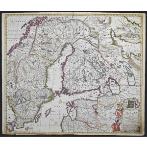
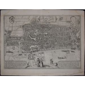
Nordlingen, Antique Map from"Civitates Orbis Terrarum"
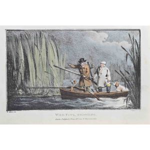
Braun G. and Hogenberg F. , Nordlingen from the collection " Civitates Orbis Terrarum ", Cologne, T. Graminaeus, 1572-1617. Image dimensions: 10.5 x 23.5 cm; dimensions: 10.5 x 26.3 cm.
Very fine B/W aquatint showing a v iew of the city of Nordlingen in lower Rhaetia . Very good conditions, with a lightly browned paper on the left.
The “ Civitates Orbis Terrarum ” ( Atlas of Cities of the World) was the second oldest printed atlas in the history of world cartography and the first atlas totally dedicated to topographical views . The first volume of this collection was published in Cologne in 1572; the following others in 1575, 1581, 1588, and 1598. The sixth and final volume appeared in 1617.


Validate your login
Sign In
Create New Account