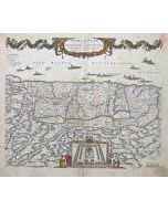
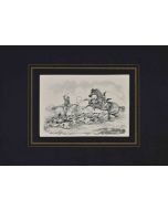
Dunkirk, Antique Map from "Civitates Orbis Terrarum"
Braun G., Hogenberg F. , Duynkercke or Dunkirk , from the collection Civitates Orbis Terrarum , Cologne, T. Graminaeus, 1572-1617.
Very fine B/W aquatint showing a view of the port and city of Dunkirk , at the time a sort of village. Noteworthy in the city, the Chapel of Notres-Dames-des-Dunes and the Saint Eloy Church. Good conditions , with a little medial hole, some stains at the bottom and a restoration sign on the lower left corner and usual folds.
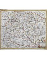
The Civitates Orbis Terrarum ( Atlas of the Cities of the World ) was the second oldest printed atlas in the history of world cartography and the first atlas totally dedicated to topographical views. The first volume of this collection was published in Cologne in 1572; the following in 1575, 1581, 1588, and 1598. The sixth and final volume appeared in 1617, just before the extensive devastation caused by the Thirty Years’ War.
| SKU | J-71942 |
|---|---|
| Artista | Georg Braun, Franz Hogenberg |
| Typology | Original Prints |
| Technique | Aquatint, Etching |
| Editor | Cologne, T. Graminaeus |
| Periodo | 1600-1649 |
| Conditions | Good (minor cosmetic wear) |
| Dimensioni (cm) | 17 x 0.1 x 59.5 |


-
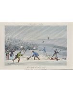
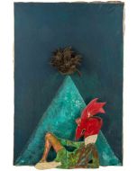
 The Signals420,00 €
 -
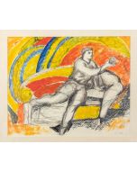
 Gallant Proposals600,00 €
 -
 Mirror1.500,00 €
 -
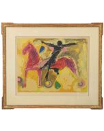
 Moses200,00 €
 -
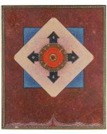
 Redemption300,00 €
 -
 Frans Masereel - Exposition240,00 €
 -
 Nude of Woman150,00 €
 -
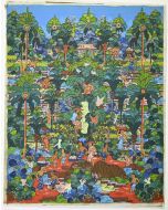
 fruit400,00 €
 -
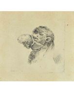
 Portrait550,00 €
 -
 The Buildings in the night188,00 €


Validate your login
Accedi
Creare un nuovo account